Importing Data: Layers from Online (Web Mapping Service)
-Some layers of information already exist on remote servers that may be accessible if you know where they’re at on the internet (and if you have the right username and password if it’s required). These are known as Web Mapping Services (WMS) (if they serve raster information). One site that lists a series of these sources can be found at GEOIDEP – Portal de la Infraestructura de Datos Espaciales del Peru
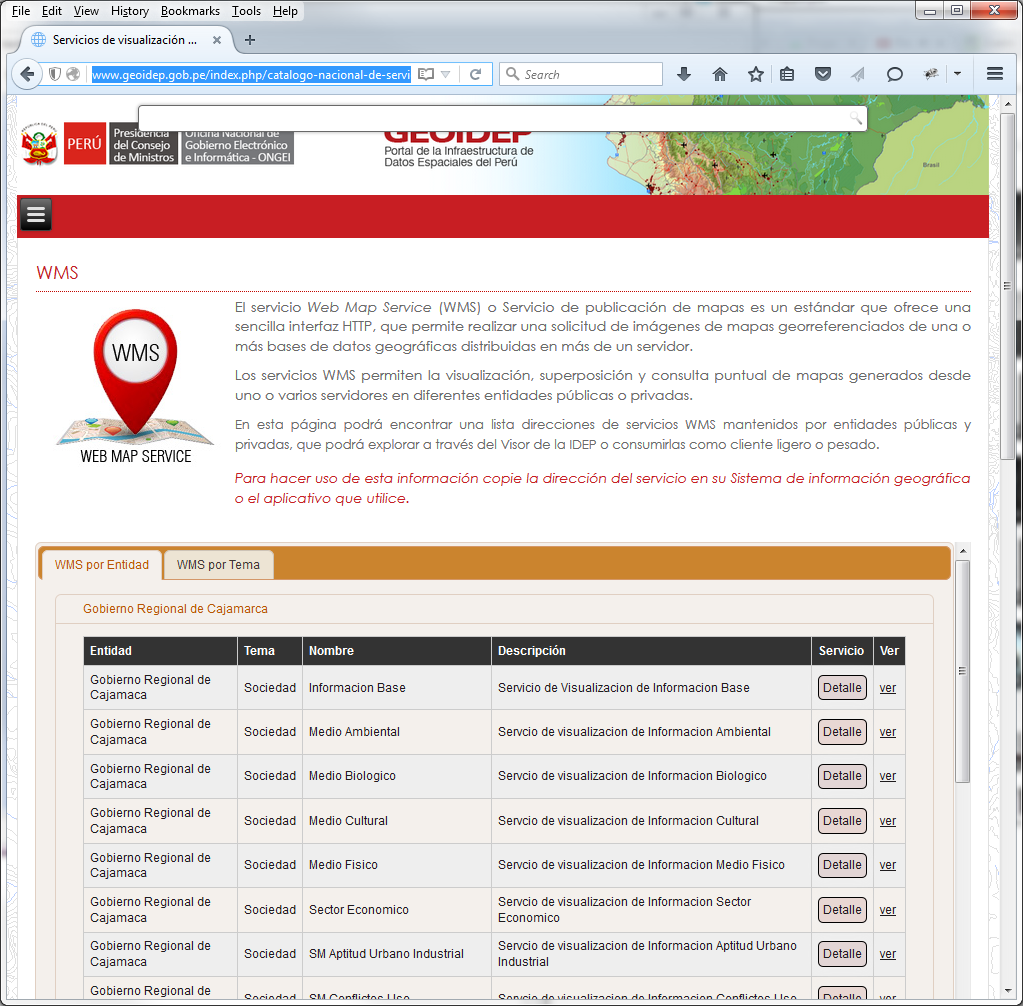
-Looking under the available WMSs on this site, we can see what’s available. Find the WMS “Gobierno Regional de Cajamaca” under WMS por Entidad > Gobierno Regional de Cajamarca > Informacion Base and click on Detalle to open a pop up showing the WMS information and URL.
-If you go to that site, you will see the following:
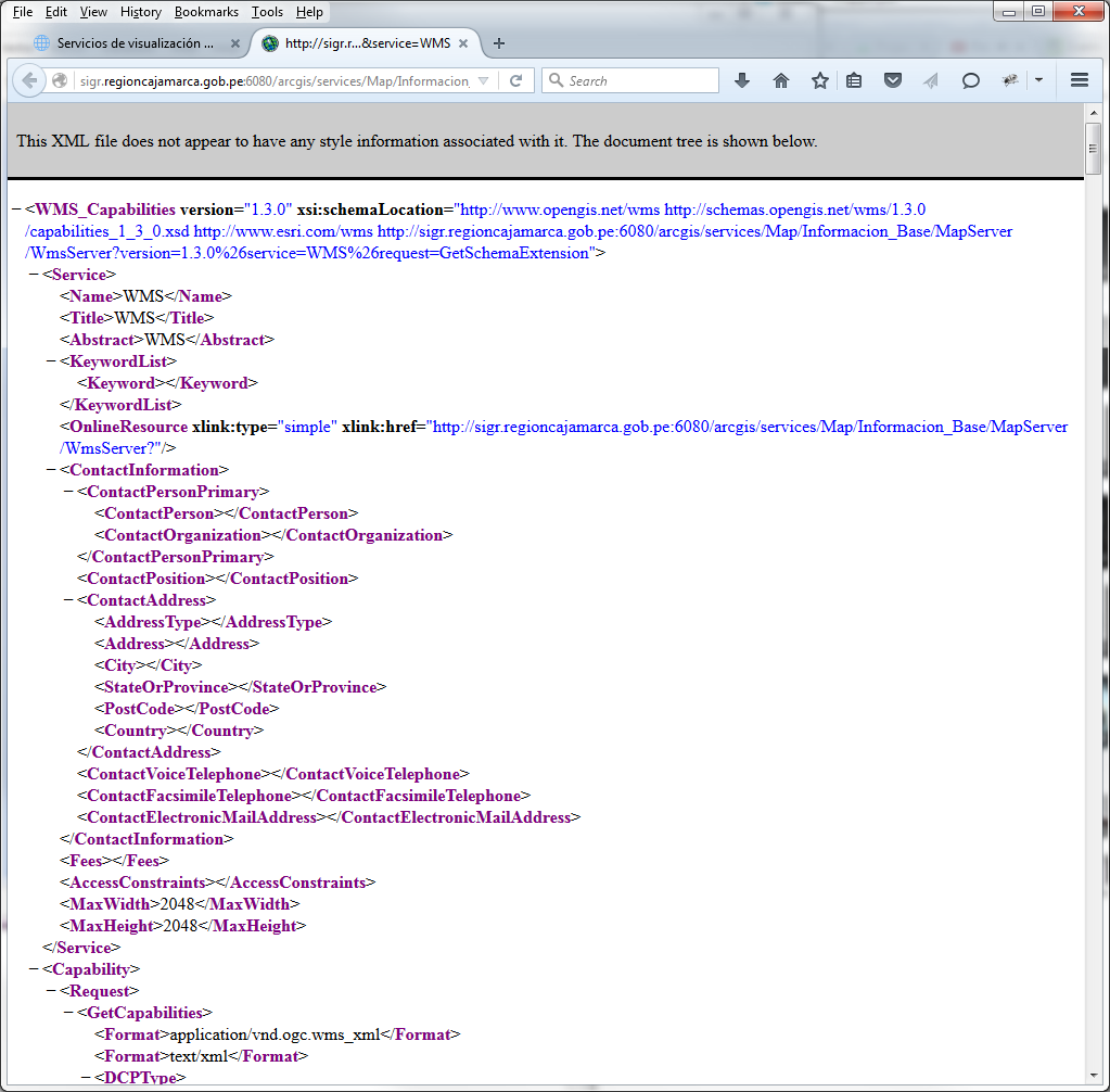
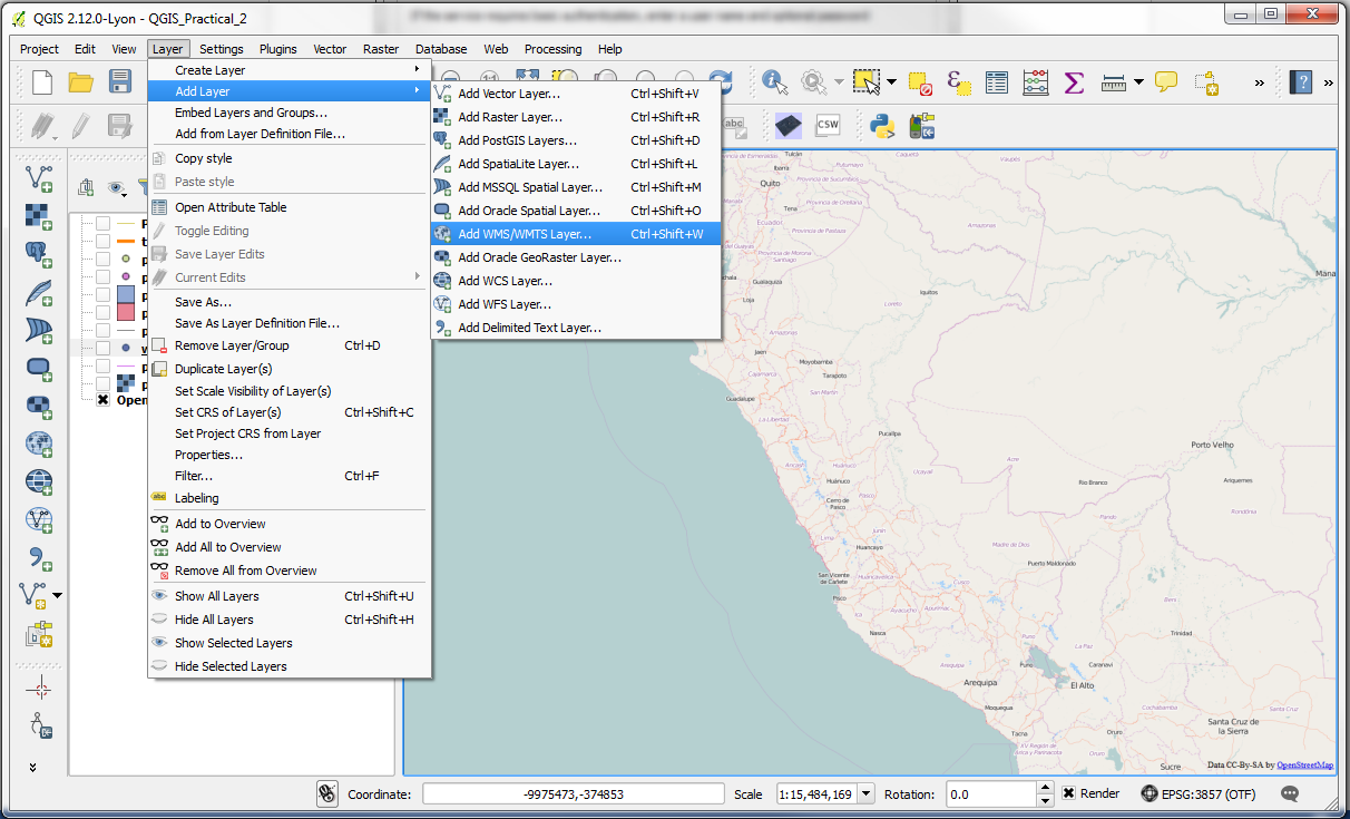
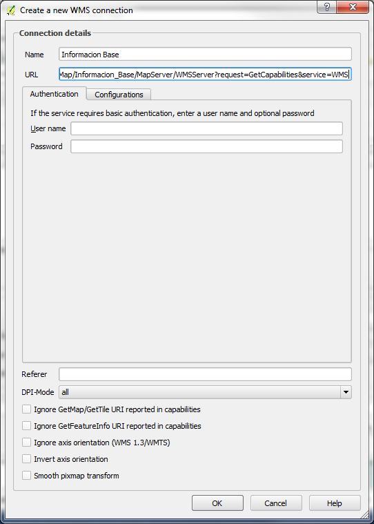
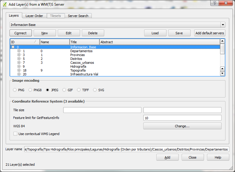
-Though this information may not be readable, it contains the information the GIS needs to connect to the remote server and load the information from it. Copy the URL from the WMS page, as this will be needed in a moment. In QGIS, select the menu option Layer > Add WMS Layer and the Add Layer(s) from a Server window will open up. Inside of this window, click the New button to add a new connection, which will open the Create a new WMS connection window. In this window, paste the URL from the WMS page in the URL field and let’s Name this layer Informacion Base. Once done, click OK.
-With the information for the connection entered, you’ll be taken back to the Add Layer(s) from Server window. Click the Connect button to connect to the server and get the information about the service inside QGIS. Select the layer Informacion_Base (which is an amalgamation of all the layers) and click Add to add it to the map and once it’s been added to the map, click Close to close the window.
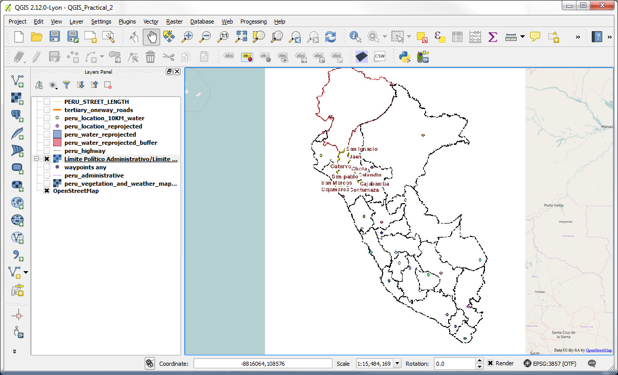
-We can now see the Informacion Base layer added to the map.
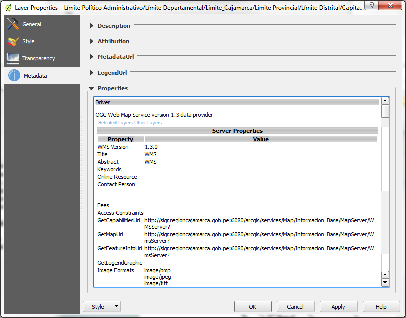
-As the information is remotely controlled, we don’t have the ability to change the colours representing the various classes of information in this layer. To find out further information about the layer, though, you can right click on the layer and select properties and check out the Metadata tab. If the WMS is being published by a reputable source, it will often have associated metadata recorded about it which can be reviewed and may provide further information on how the data were compiled, what the colour classifications are, and other information that may be helpful in determining if this is the information you need for your map.
-Loading other web resources is done in a similar fashion using the appropriate add layers option from the Layer menu. The most difficult part, though, will be to find (verifiable) resources that provide you the information you need for your map.