Add Layer from Web
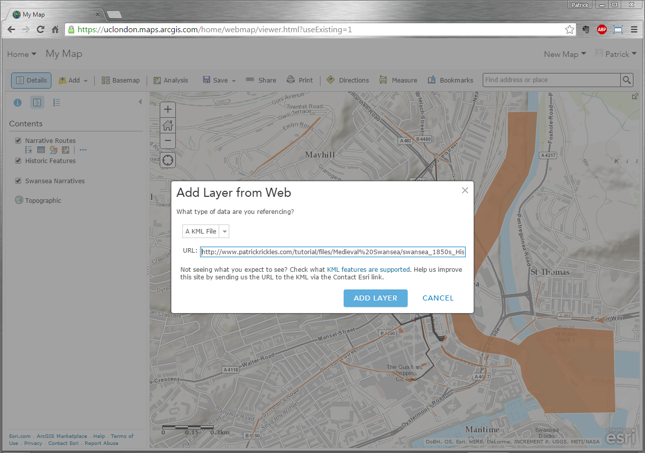
Next, we’ll add a KML (Keyhole Markup Language) Layer that’s publically available on a remote server; one such example is swansea 1850s Hist OS, which shows 1850s Historic Ordnance Survey map of Swansea. Click Add on the map menu options and select Add Layer from Web, change the type to A KML file and type the following URL into the text field: http://www.patrickrickles.com/tutorial/files/Medieval%20Swansea/swansea_1850s_Hist_OS.kmz
Once entered, click Add Layer to add it to the map.
Adding and Displaying Layers of Information: Medieval Swansea