Item Details Page
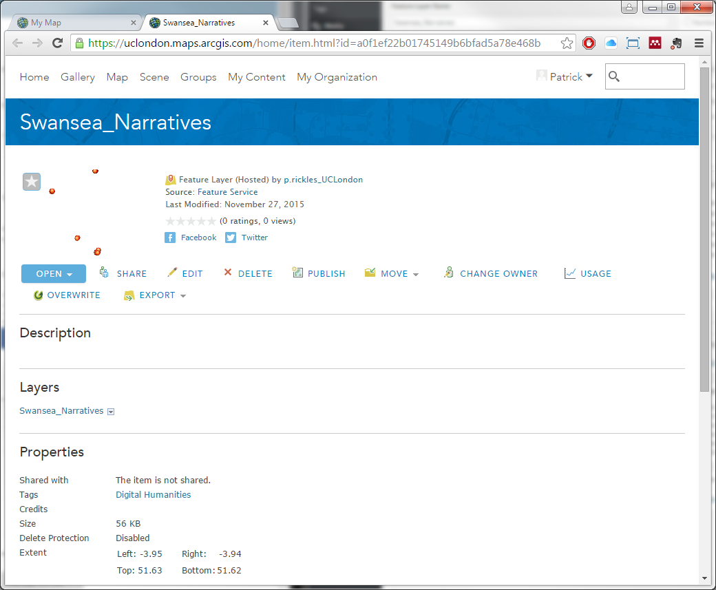
In the Item Details page for the layer you will see the following information displayed from the top to the bottom of the page:
-The name of the layer
-An overview map of the layer, with a star in the top left corner of the overview map to set the layer as one of your favourite layers
-A short description of the layer
-The type of layer and the author’s name (which may be clicked to view the author’s profile page and other layers they may have made available)
-Full details on the Source service
-Date the layer was last modified
-The rating for the layer and the number of times the layer has been viewed
-The ability to share a link to the layer via Facebook or Twitter
-The Open button which allows you to Add layer to map, Add layer to new map or Open in ArcGIS for Desktop (the desktop GIS software, if you have it)
-A Description of the layer
-Map Contents information link, which if followed will show full details on the Source service
-Properties such as any Tags, Credits (for use of the data), Size of the dataset, its Extent in latitude and longitude
-Any Comments and the ability to Publish Comment of your own
Scroll back up to the Open button, click on it, and select Add layer to map; this will automatically redirect you back to your map and add the layer to your map.