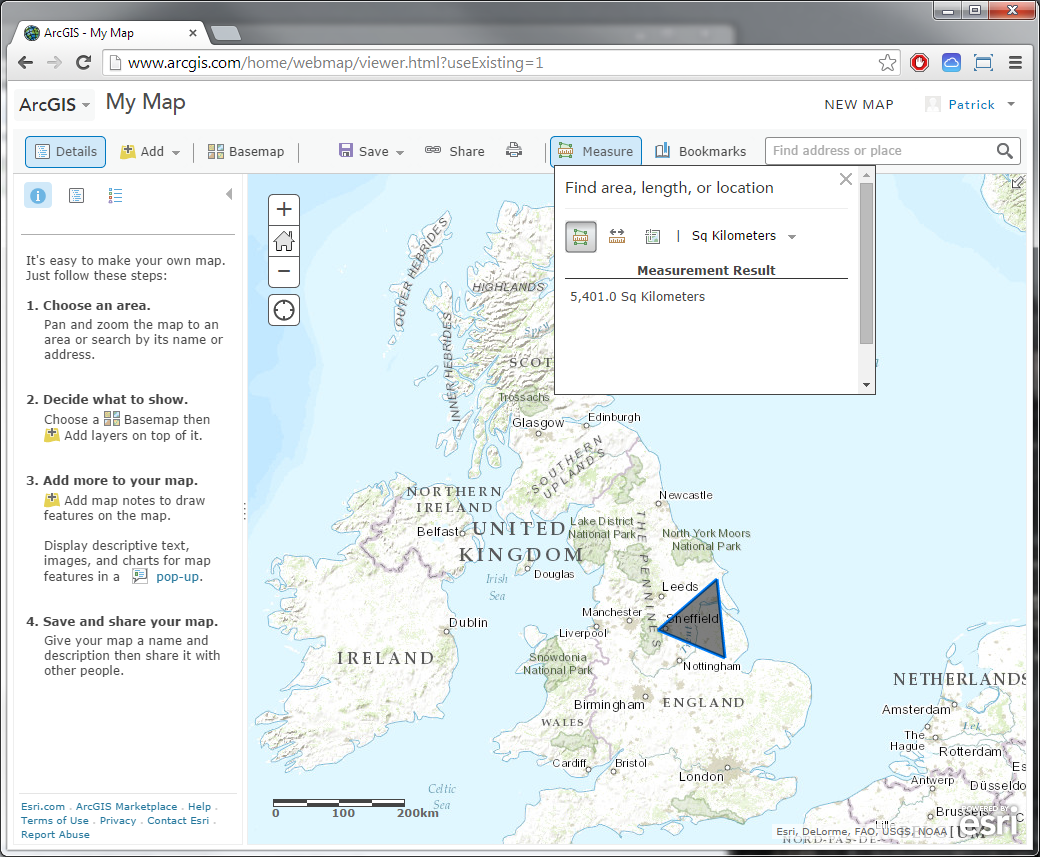
Measure Tool
The Measure map menu option will allow you to measure the dimensions of various shapes you may draw on the map with the tool. Of the options, you may measure an Area, Distance, or Location and select from a drop down list to the right of those options how the results are reported back (e.g. For Area, Sq Kilometers, Feet, etc.). Simply draw the shape on the map by clicking on the map and double clicking to close the shape (note: for location, you only need to click once).
Intro to ArcGIS Online: Medieval Swansea
good lesson.