Importing Data: Layers from Data Collectors (GPS)
-GPS Units and other data collector programs/apps can be used to collect data in the field that can later be transferred to a PC for processing. From a GPS, the file formats will often be .gpx, .csv, .xml, or .txt; with other programs/apps, file formats may vary, though the process of importing is often the same.
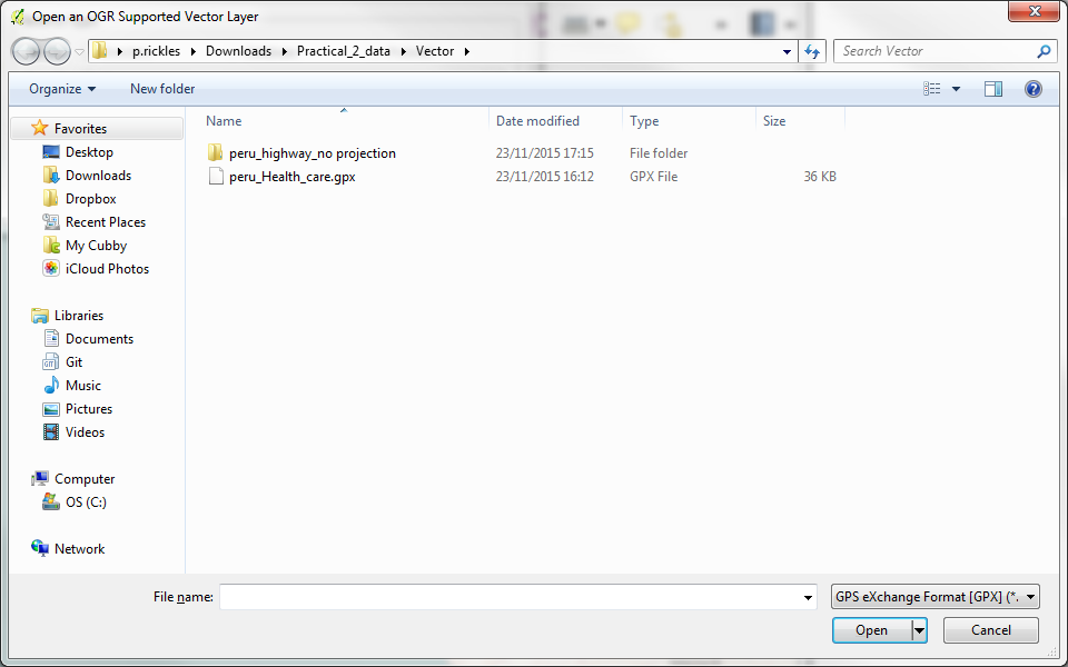
-To add GPS waypoints/tracks/routes to QGIS, you will first need to move them to the computer; downloaded with the other files for this practical, a GPX file has been included as an example. Select Layer > Add Vector Layer and select the GPX file type from the list in the browse data box (GPS Exchange format (GPX)).
-Chose /Vector/peru_Health_care.gpx from where you downloaded the files for the practical.
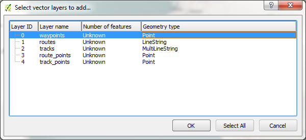
-Then, a window will come up asking you to choose which GPX sublayers to load. Waypoints is the one to import this houses in the collected information on healthcare points.
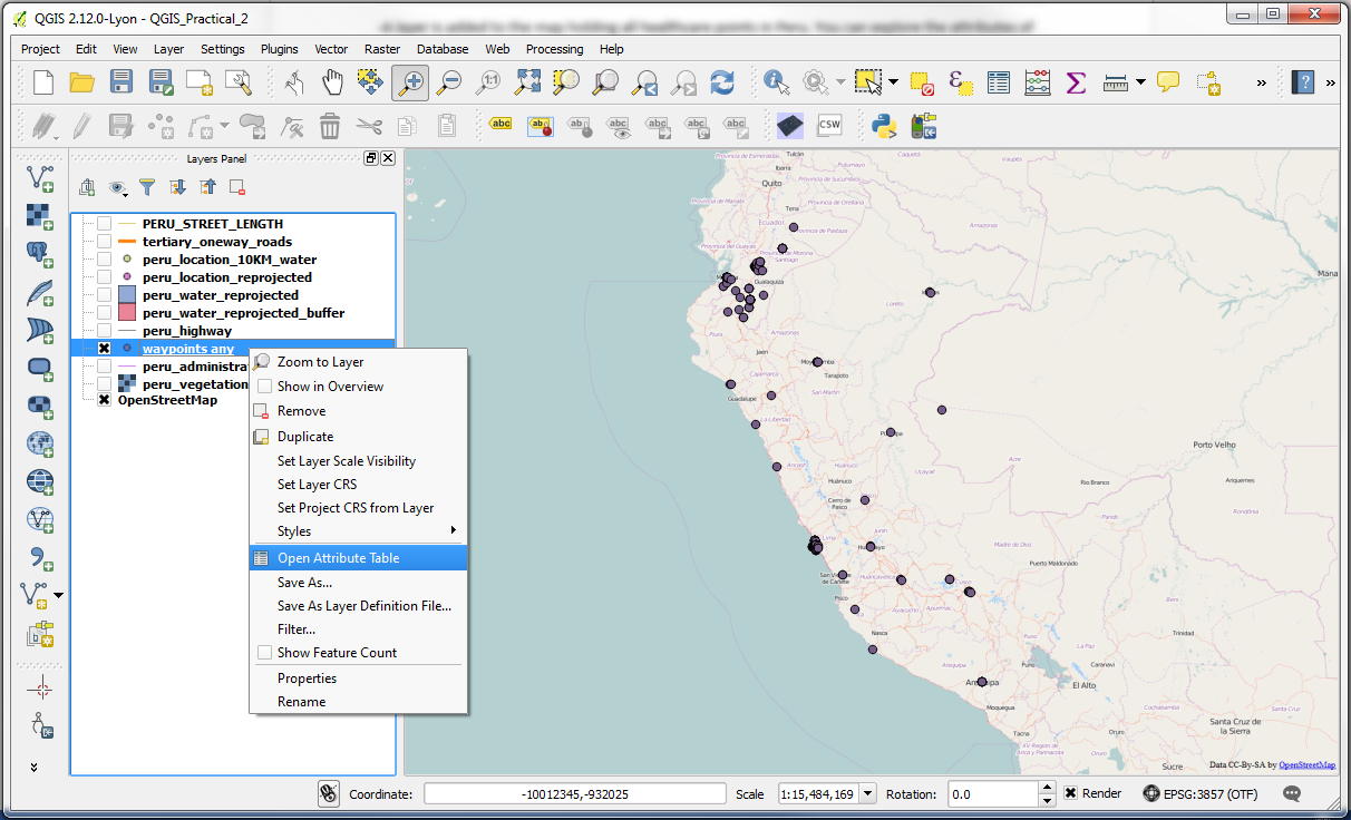
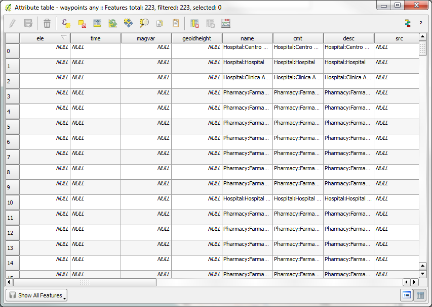
-A layer is added to the map holding all healthcare points in Peru. You can explore the attributes of the GPX data by right-clicking on its name and selecting Open Attribute Table.
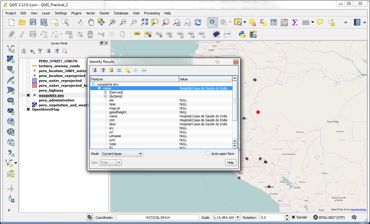
-Alternatively, to identify the name of a particular point, select the Identify features button and click on the point. Then, a window with the results will come up.