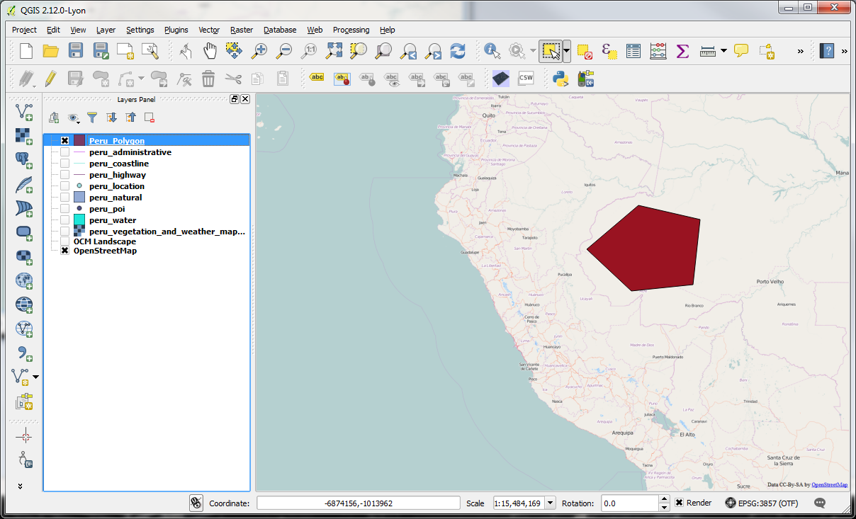
Adding Attribute Data
-You have now created a new feature in the Peru_Polygon layer. Vector layers in GIS (such as Peru_Polygon) have attributes – diferent numerical values associated with them. This information can be seen and manipulated from the Attributes tab.
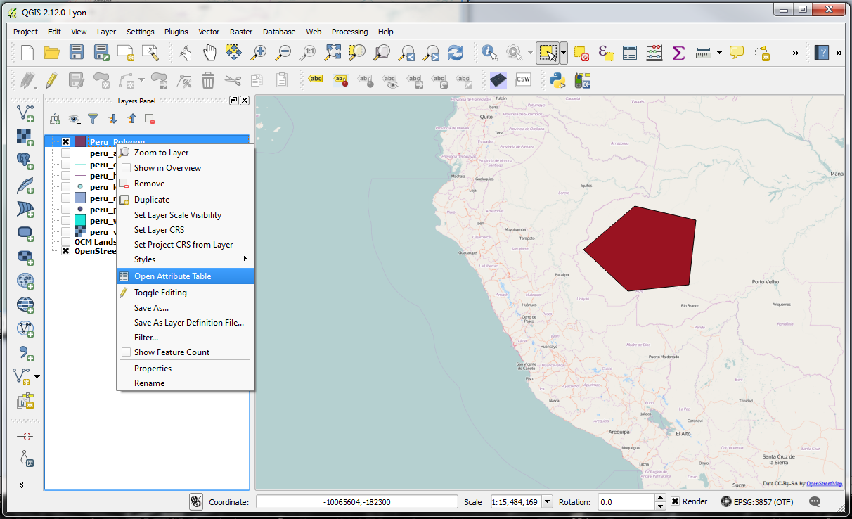
-To open the Attributes table of Peru_Polygon, right-click on the layer name and select Open Attribute Table.
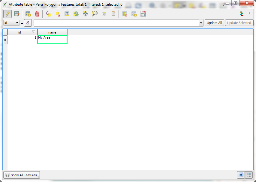
-When editing of the layer is enabled, the Edit button will be pressed you can modify and change the values in the table. In this case, there are two columns- an ID column for unique values and a name column for description.
-The New Column button and Delete Column button can be used, when the layer is Editing mode. Mouse over the buttons to identify those now from the hover tool tip information.
-Once you are done, you can Save Edits and Unselect Features. Again, mouse over the buttons to identify those now from the hover tool tip information.
-You can similarly create point and line shapefiles as you did the polygon file. Feel free to create some to experiment with, if you wish and, once done, be sure to Toggle Edit and save/discard your edits to switch out of edit mode.