Map Layers
-A layer is the visual representation of a geographic dataset in any digital map environment. Conceptually, a layer is a slice of the geographic reality in a particular area, and is more or less equivalent to a legend item on a paper map.
-There are two main types of geographic datasets in GIS: vector and raster, which represent geography in different ways. Vector data represents discrete information (e.g. points, lines, polygons), whereas raster data represents continuous information (e.g. images).
-The Basemap is essentially a raster layer. It can be added and removed from the Map View by right-clicking on the layer name in the Map Legend.
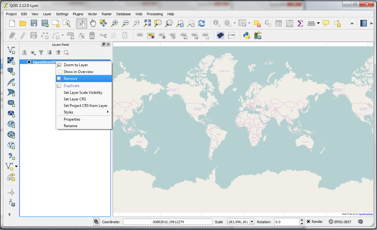
-Remove the OpenStreetMap Layer (Click OK if prompted to confirm) and add the OCM Landscape Layer from Web > OpenLayers plugin > OpenStreetMap > OCM Landscape.
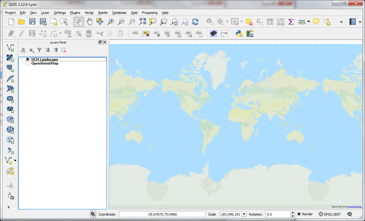
-Load the OpenStreetMap Layer again as you did before; you now have two layers active in the Map Legend:

-To turn a layer off, uncheck the box next to layer by clicking it
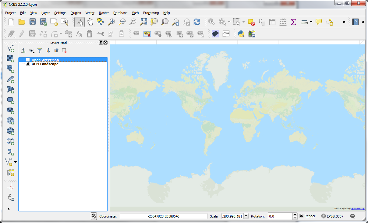
-To change the drawing order of layers, drag the layer name up or down to bring forward or send backward
-Drag the layer name up or down to bring it forward or send backward in the draw order. You may need to do this for layers to ensure that the information you wish to see is visible.